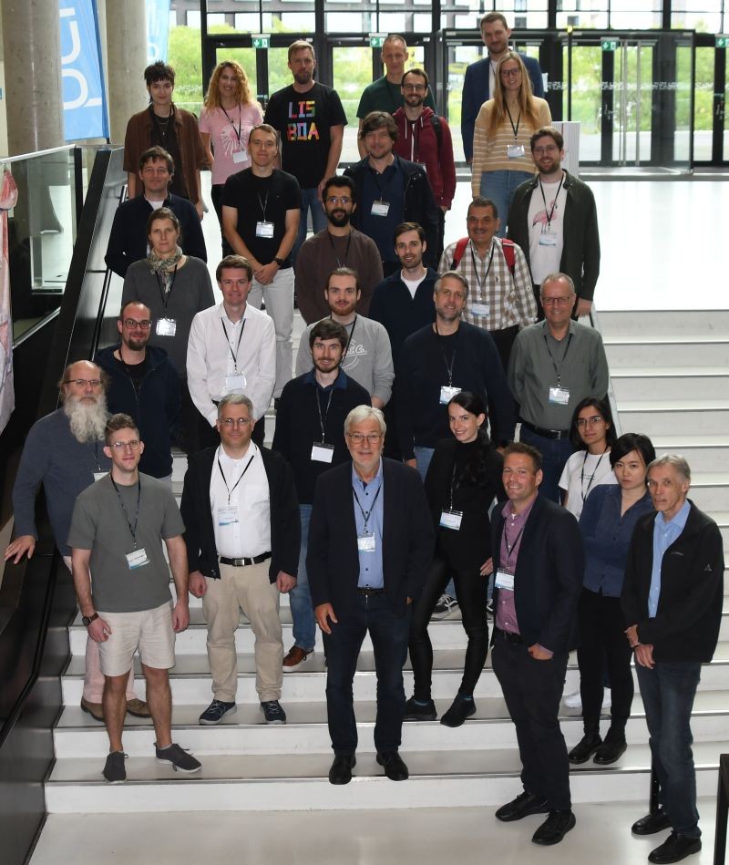
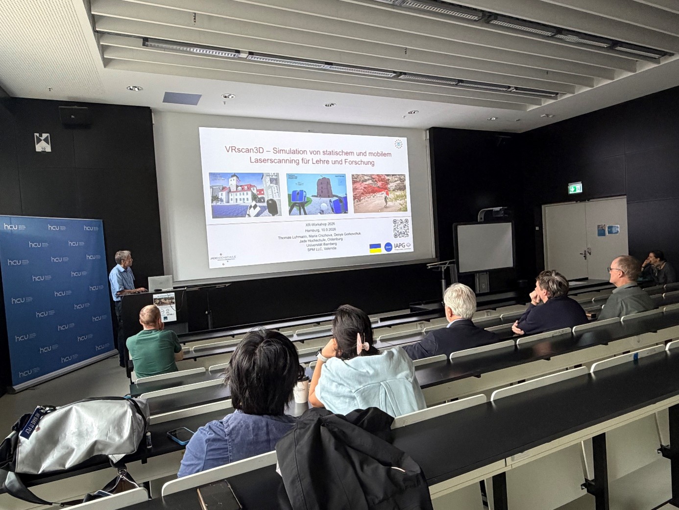
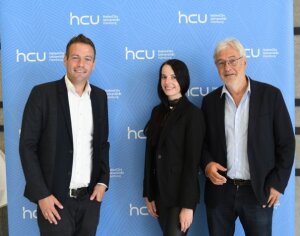
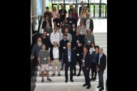
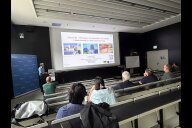
On 9 and 10 September 2026, researchers and professionals from the fields of geomatics, cartography, photogrammetry, geoinformation science and related disciplines gathered at HafenCity University Hamburg (HCU) for the workshop “Virtual & Augmented Reality in Geomatics”. The two-day event provided a platform for presenting and discussing current research, technological developments and innovative applications of Extended Reality (XR) in the geospatial domain.
The workshop was jointly organised by HafenCity University Hamburg (Prof. Dr.-Ing. Thomas Kersten), Dresden University of Applied Sciences (Prof. Dr.-Ing. Melanie Elias), Ruhr University Bochum (Prof. Dr. Dennis Edler) and the two German professional societies DGPF e.V. (German Society for Photogrammetry, Remote Sensing and Geoinformation) and DGfK e.V. (German Cartographic Society). It was organised in the context of the joint DGPF/DGfK Commission on Virtual and Augmented Reality, which has been headed by Thomas Kersten and Dennis Edler since its establishment in 2019.
Over the course of two days, the programme highlighted the broad range of current XR research and applications in geomatics. Contributions addressed, among other topics, the use of Virtual and Augmented Reality in cultural heritage, architecture and history, applications for education and training, serious games and edutainment, navigation and orientation in virtual environments, immersive interaction and animation, as well as approaches for evaluating the usability and performance of VR and AR applications.
Dennis Edler contributed two presentations to the scientific programme. In his first presentation, “Gaining Insights through User Studies in Immersive VR: An Example of Methodological Triangulation”, he addressed methodological approaches to studying user behaviour and experiences in immersive virtual environments. His second presentation, “Immersive Smart City Experiences: A VR Environment for Interactive Geography Education”, focused on the potential of immersive VR for communicating urban and geographical processes in an interactive educational setting.
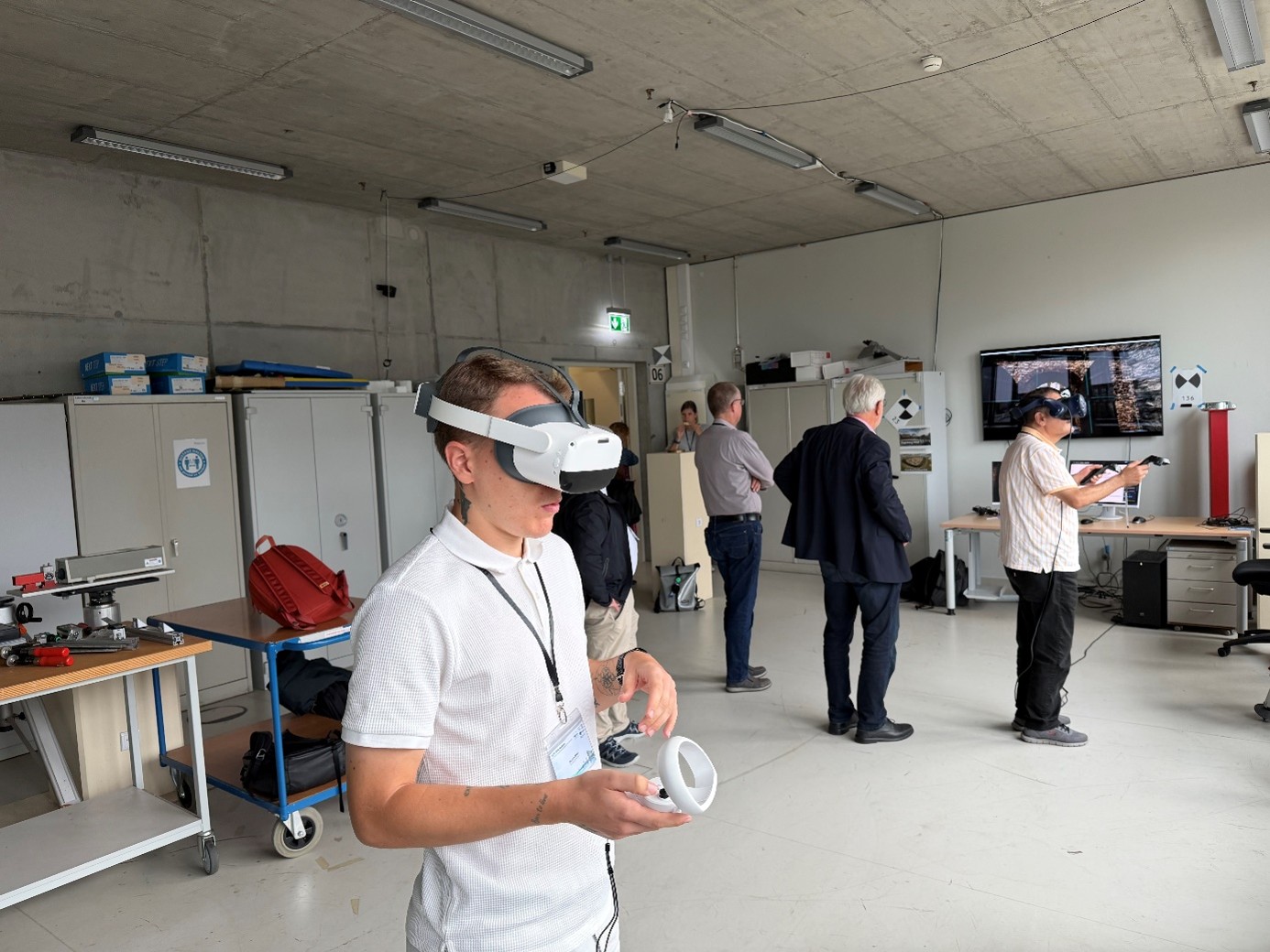
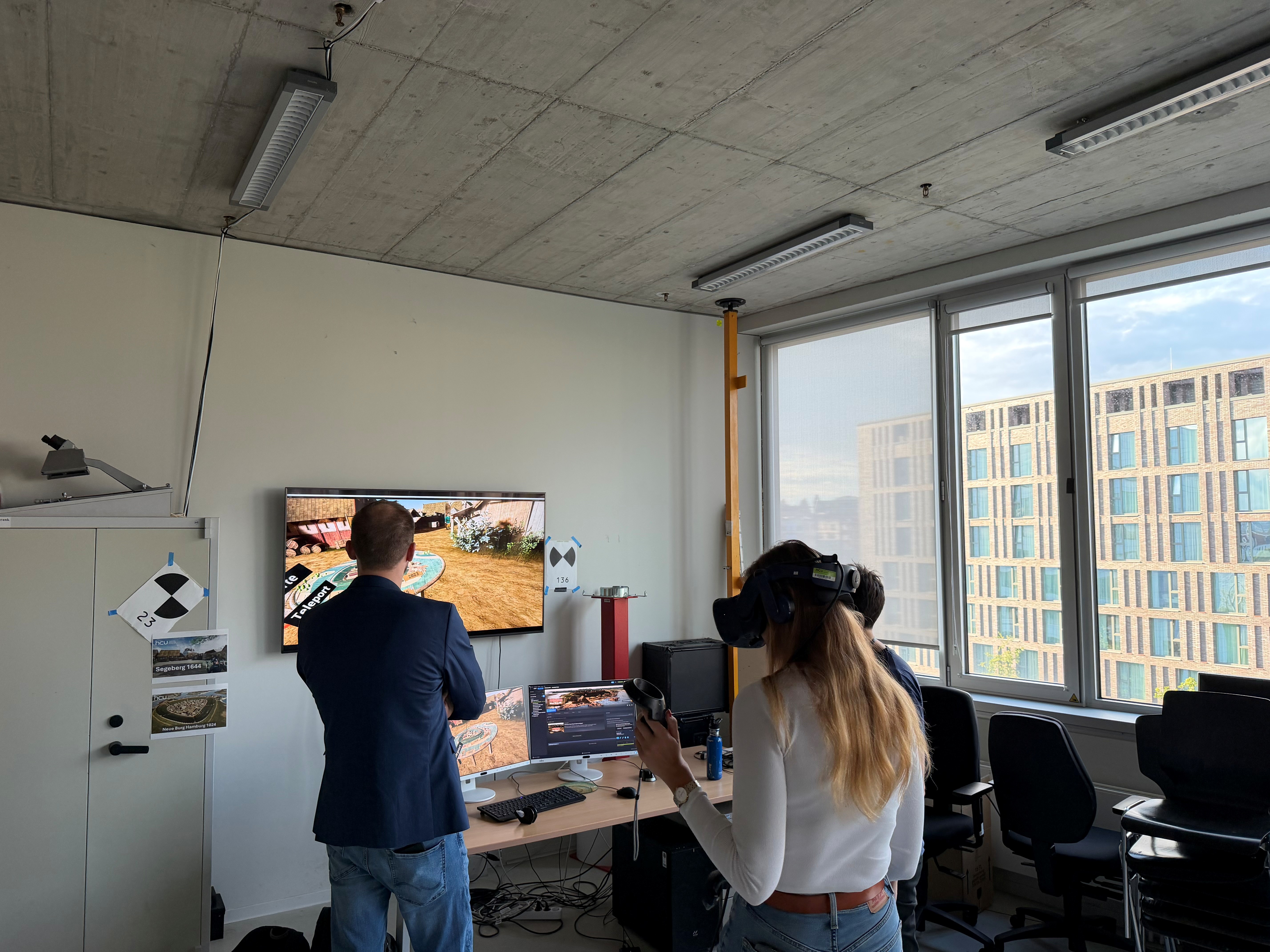
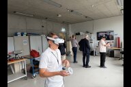
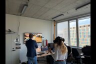
A special highlight of the workshop was the VR Demo Session on Wednesday evening. Eight different live demonstrations presented by teams from several universities gave participants the opportunity to experience current VR and XR applications first-hand. Rather than only discussing immersive technologies in theory, participants were able to put on the headsets, interact with the applications and exchange ideas directly with the researchers and developers behind them. Research assistant Devon Klör (Cartography Group) presented a live demonstration of the immersive Smart City VR environment, allowing participants to explore and interact with the application themselves. The session provided a lively and informal setting for exploring different technological approaches and discussing their potential for research, teaching and practical applications in geomatics.
A particular strength of the workshop was the opportunity to bring together different perspectives. Presentations and discussions demonstrated how rapidly immersive technologies are developing and how closely their successful application is linked to questions of geospatial data acquisition, 3D modelling, visualisation, interaction and user experience.
Beyond the scientific presentations and demonstrations, the workshop offered numerous opportunities for discussion, exchange of ideas and networking. The lively conversations during and between the sessions underlined the value of a dedicated interdisciplinary forum for XR research within the geomatics community.
The workshop once again demonstrated the considerable potential of Virtual, Augmented and Extended Reality for communicating, exploring and interacting with geospatial information – and provided many impulses for future research and collaboration.
For further information, see the conference website.

Copyright © Geographisches Institut 2026
Letzte Änderung: 14. Sep. 2026