![]()
![]()
![]()
![]()

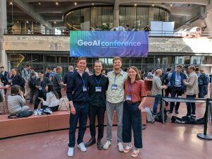
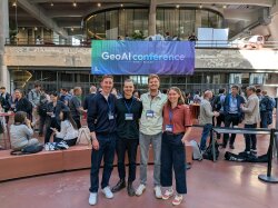
From 3 to 6 June 2026, the 1st International Conference on Geospatial Artificial Intelligence (GeoAI 2026) took place in Ghent, Belgium. The Institute of Geography was represented with four poster presentations. A total of 305 participants from 36 countries came together to exchange ideas on the latest developments in the field of Geospatial Artificial Intelligence (GeoAI) and to lay the foundation for scientific exchange in the coming years.
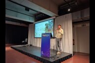
Hosted by the GeoAI Research Center at Ghent University, the conference brought together researchers and practitioners from academia, industry, and government to exchange ideas on the relatively young field of GeoAI, which combines geographic knowledge with artificial intelligence for spatial analysis. The event opened with seven pre-conference workshops on 3 June, followed by three conference days from 4 to 6 June, featuring a total of five keynotes, 102 oral presentations, 44 poster presentations, and two social events.
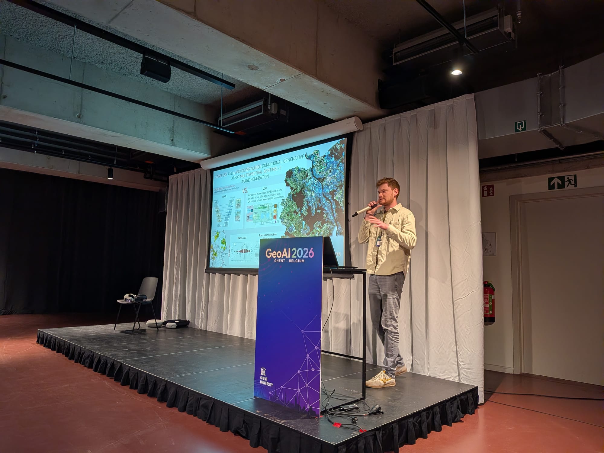
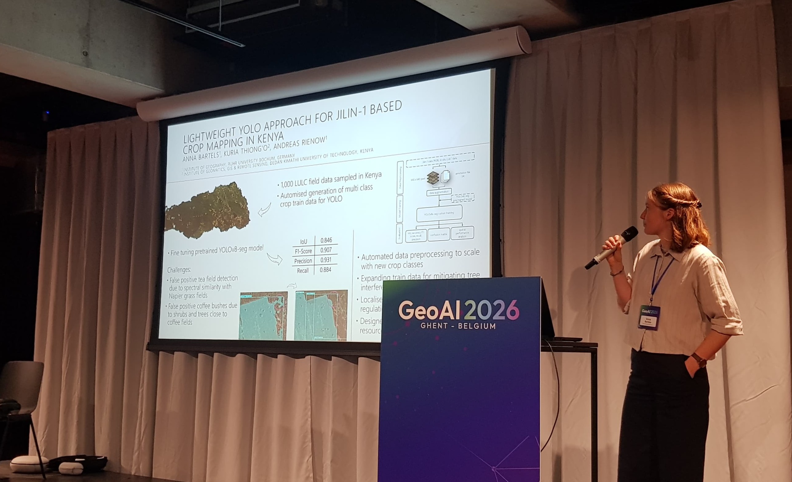
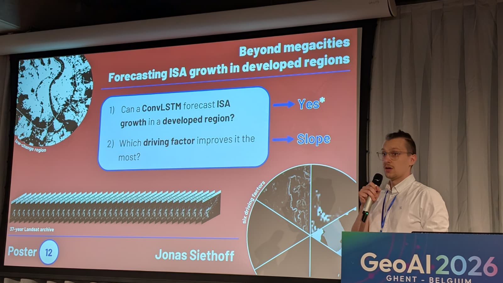
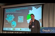
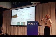
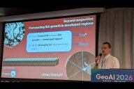
The Institute of Geography was represented by four PhD researchers. From the Interdisciplinary Geographic Information Sciences research group (Prof. Andreas Rienow), Torben Dedring presented his research on synthetic multispectral satellite imagery, Jan-Philipp Langenkamp on the segmentation of impervious surfaces in seasonal aerial imagery, and Anna Bartels on the automated segmentation of smallholder agricultural fields in Kenya. From the Urban Remote Sensing research group (Jun.-Prof. Valerie Graw), Jonas Siethoff presented his research on forecasting future impervious surface growth in developed regions.
For the PhD researchers, the conference offered not only a stage to present their own work, but also an opportunity to connect with the international GeoAI community. Thematically, the conference reflected the current dynamics of the field. Among the central topics were foundation models (pre-trained models on huge amounts of data), embeddings (numerical representations of spatial features), the development of autonomous agents (independently acting systems), and the application of established models. It will be exciting to see how the field of GeoAI develops in the coming years and how the researchers at our institute help to shape it.
Special thanks go to the Ruth und Gert Massenberg-Stiftung, whose funding made the PhD researchers' participation possible. Further information about the conference is available on the conference website. The presented posters are available here.
Copyright © Geographical Institute 2026
Last update: Jun 26, 2026
